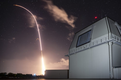
Japan’s Defence Minister Takeshi Iwaya has admitted on Jun. 14 that a potential Aegis Ashore site in Akita prefecture would need to be protected from tsunami.
This is in additional to the calculation error that his ministry had made in determining suitable locations for the site in northern Japan. Officials relied on Google Earth to calculate the height of mountains that made block the radar signals. But the results are erroneous as the scale sizes used in the calculation were variable.
For more information, hit the Source below
